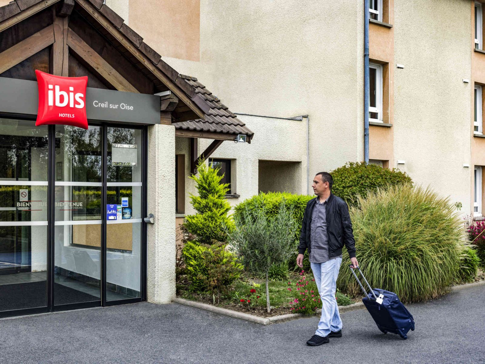
Parking
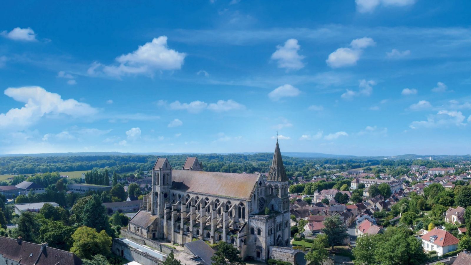
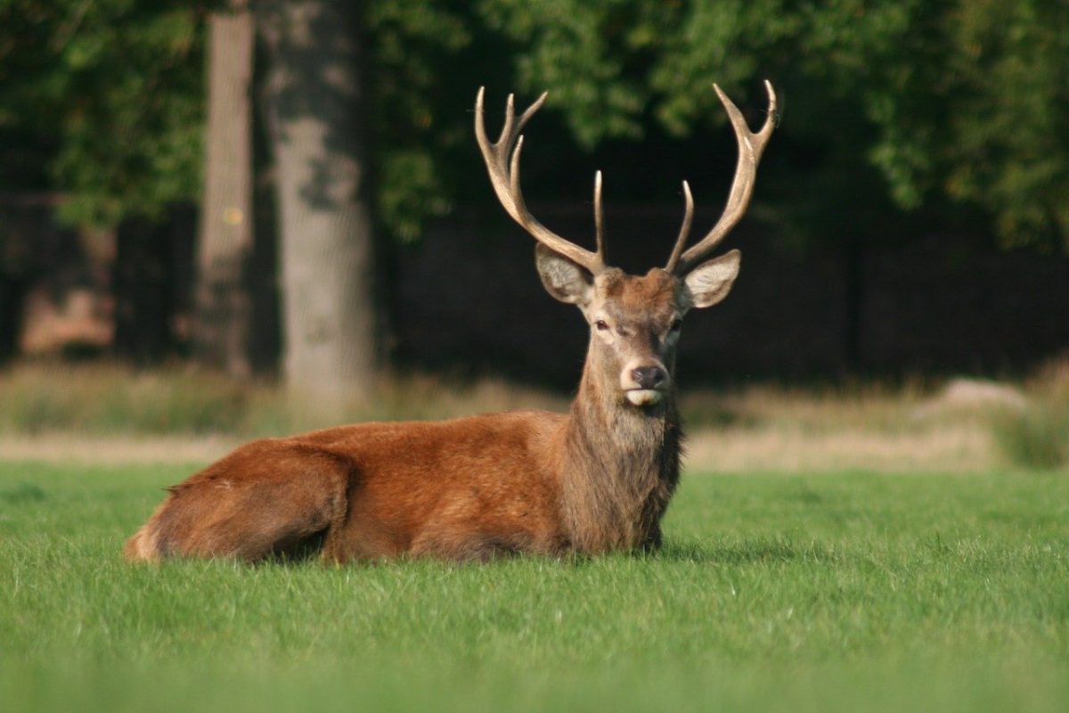
Formerly known as the Senlis, St-Christophe or Cuise forests, this 4300-hectare beech-oak woodland is located on a vast plateau at an average altitude of 100m.
This forest takes its name from Mont Alta (140 m), the second highest point after Mont Pagnotte (220 m). It is one of three forests in the Oise-Pays de France Regional Nature Park.
For history buffs, there are many relics of the past: standing stones such as the two menhirs at Indrolles, the "Cheval de Chancy" and the "Pierre qui corne", as well as numerous Gallo-Roman ruins.
Discover the botanical trail and the Mont Pagnotte and Mont Alta walking routes.
This 4300 ha beech-oak forest is located on a vast plateau at an average altitude of 100 m. It is one of three forests in the Oise Pays de France Regional Nature Park.
For history buffs, there are many relics of the past, including menhirs and Gallo-Roman ruins.
Opening
| From 01 January to 31 December | |
| Sunday | Open |
| Friday | Open |
| Saturday | Open |
| Wednesday | Open |
| Thursday | Open |
| Monday | Open |
| Tuesday | Open |
| monday | Closed |
| tuesday | Closed |
| wednesday | Closed |
| thursday | Closed |
| friday | Closed |
| saturday | Closed |
| sunday | Closed |
Benefits
Equipment
- Signposted circuit/plotting
- Free parking
On-site activities
- Specific thematic animation
- Walks